ABOUT 3DSCAN.GE
Here are some of the benefits of using a laser scanning:
- Accuracy: Laser scanning is a very accurate way to document a site. The scans can be used to create 3D models that can be used for a variety of purposes, such as construction, engineering, and planning.
- Speed: Laser scanning can be done quickly, which can save you time and money.
- Safety: Laser scanning is a safe way to document a site, as it does not require workers to enter dangerous or confined spaces.
- Versatility: Laser scanning can be used to document a wide variety of sites, including buildings, bridges, and infrastructure.
At 3dscan.ge, we offer professional 3D scanning services for a variety of applications and industries. Whether you need to capture the shape, size, color, or texture of large objects, structures, or environments, we have the right 3D scanner and software for you.
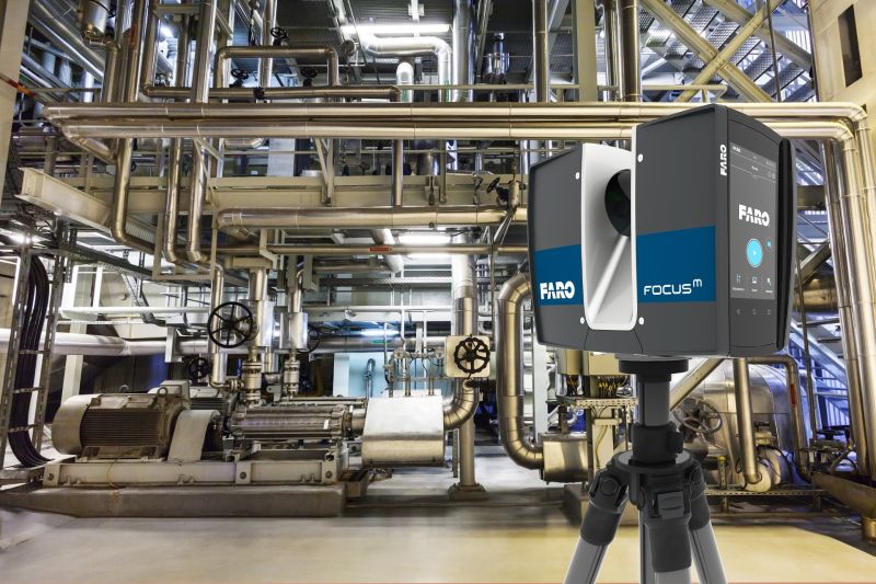
We have a team of experienced terrestrial 3D scanning experts who can handle any project, big or small, on-site or off-site. We use the latest terrestrial 3D scanning technology from leading manufacturer FARO focus S150 Plus.
Contact us today to get a free quote and consultation for your 3D scanning needs. We are ready to assist you with our professional 3D scanning services.
OUR SERVICES
Our 3D laser scanning services are utilized in various fields, including industrial applications, cultural heritage restoration, urban planning, reverse engineering, and more.
Architectural Laser Scanning
3D laser scanning aids the process of architectural design from site documentation, to monitoring construction progress, creating design models, and verifying as-built accuracy.
Photogrammetry
Photogrammetry service is the process of creating 3D models from 2D images of an object or scene. It is a cost-effective and versatile method for capturing 3D data for various applications and industries. Photogrammetry service can be done using drones and cameras.
BIM Modeling
Precision point clouds are used to develop intelligent BIM models, giving AEC professionals insight and tools to more efficiently plan, construct, and manage buildings and infrastructure.

As-Built Survey
An as-built survey capturing exact dimensions and locations proves to be invaluable in design, construction, renovation, prefabrication, and facility modifications.
2D CAD DOCUMENTATION
We can produce precise floor plans, sections, and elevations with a high level of accuracy, customized to your unique needs and available in various formats and levels of detail.
Heritage Laser Scanning
Laser scanning captures structural and architectural details of historic buildings and sites with 2-4mm accuracy in the form of point clouds, 2D CAD drawings and 3D BIM models at any level of detail.